Hello
When I started using WST in June, the data imported from my Coros watch was noted as “very good” quality (1.0), whether the data was imported via synchronization or via the GPX file exported from Coros.
But my sessions imported this weekend from the same Coros watch show very poor quality (5.2). The turns on the map look like angles instead of curves.
Looking at the FIT or GPX files exported by my watch, I notice that in June, as well as this weekend, they have 1 point per second, and the GPS coordinates always have 6 decimal places. So there is apparently no change on the Coros side.
On the other hand, when I export the data from my latest sessions from WST, some GPS points are missing compared to the imported file. Below, the red file is the original, the blue one is exported by WST.
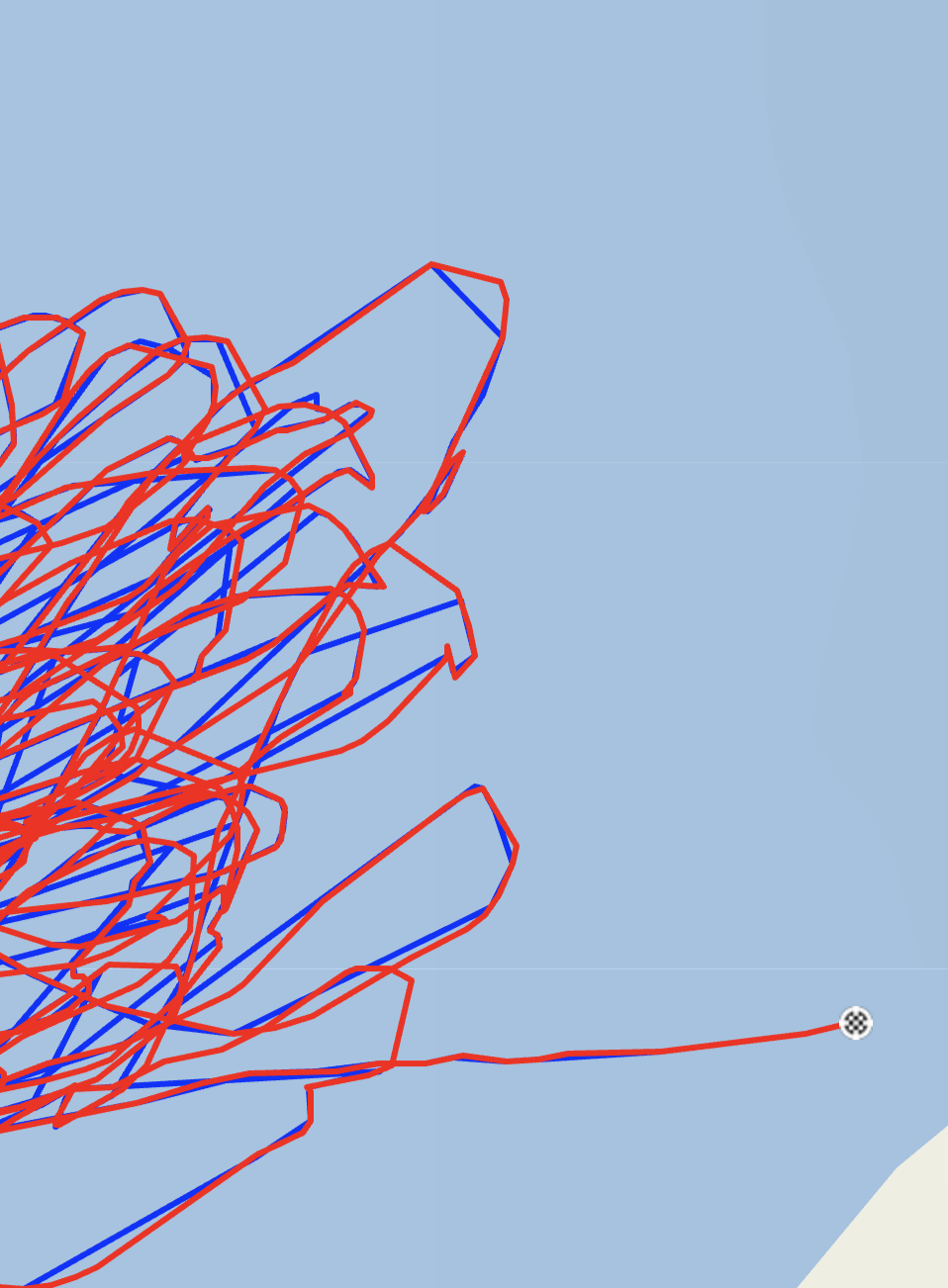
- Does this difference explain the “very poor” quality? What are the criteria for this rating?
- Does WST filter the data on import? Why do some points disappear?
- Has there been a change in WST regarding these aspects since June?
Thank you (again)